Other takeoff

Interesting places for fly

Tbilisi sea

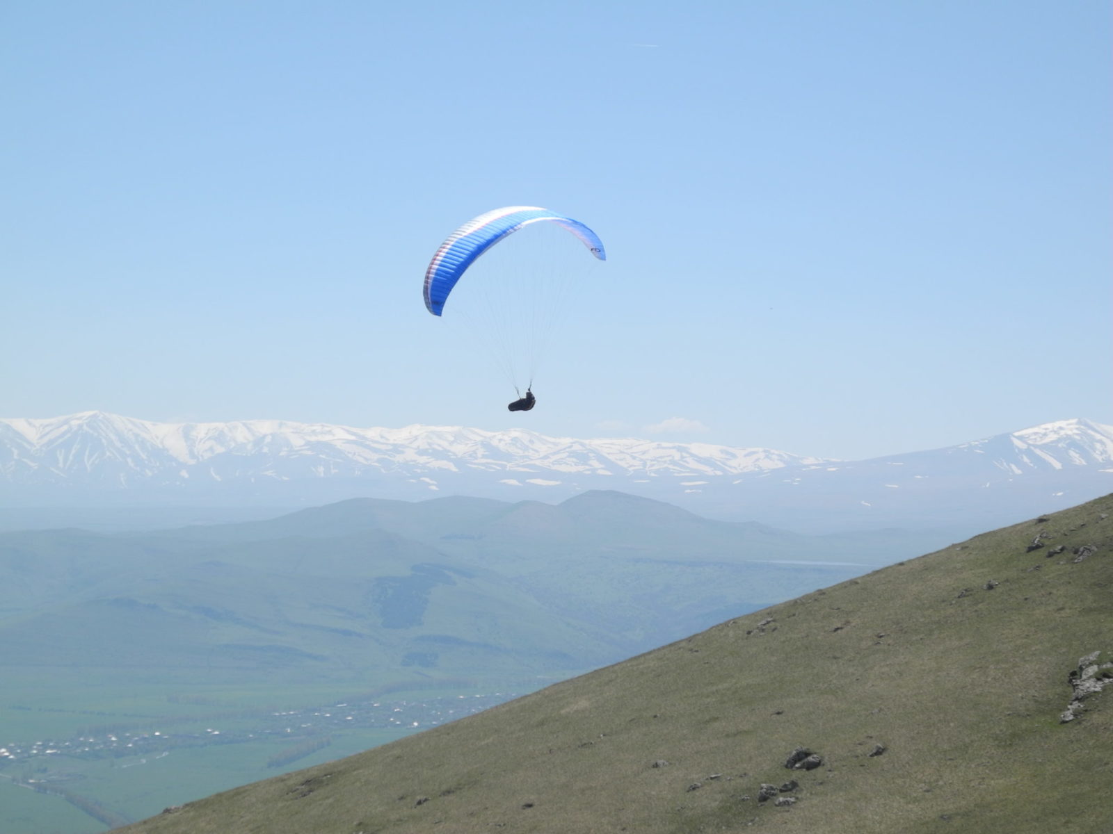
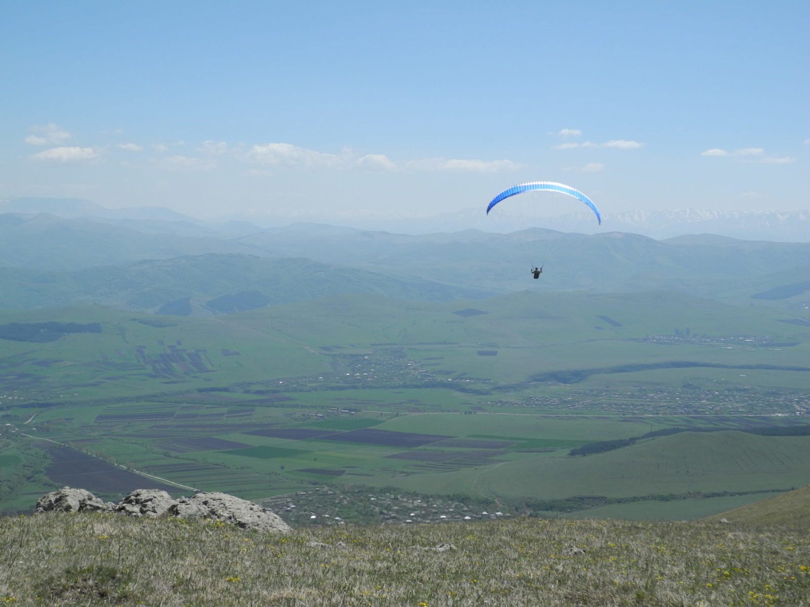
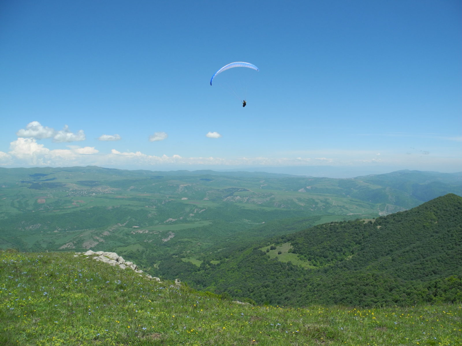
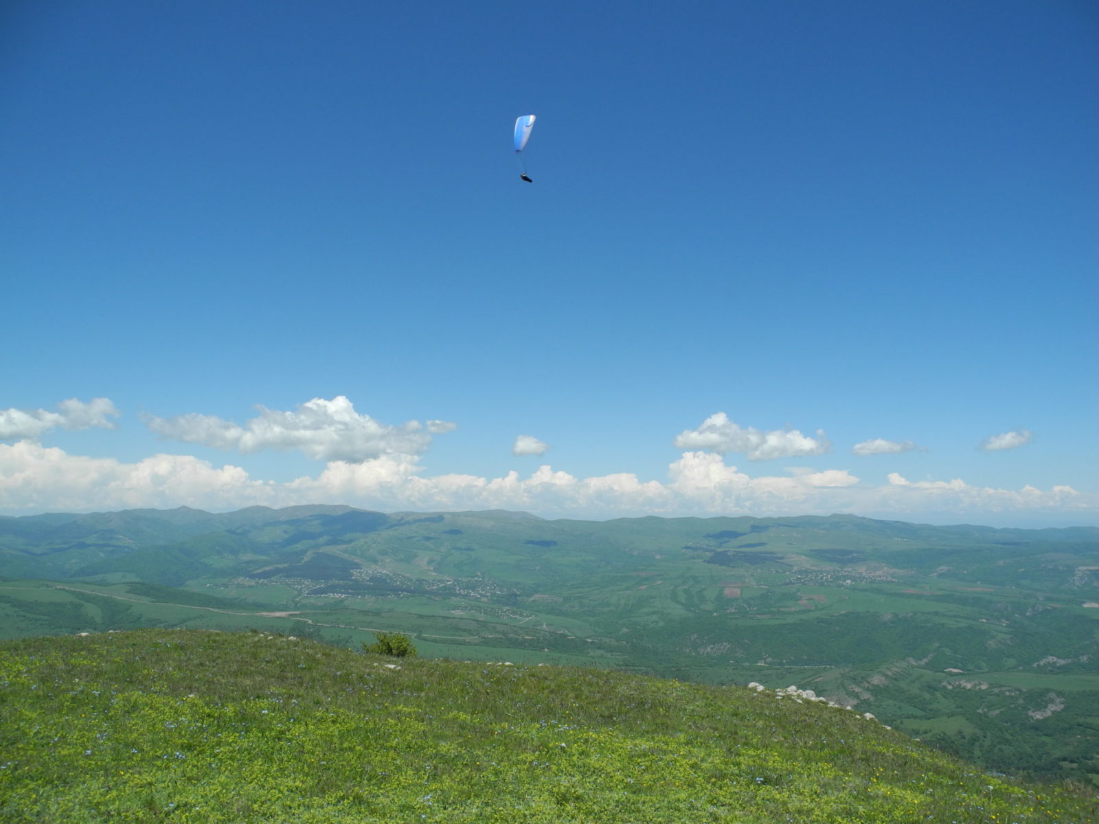
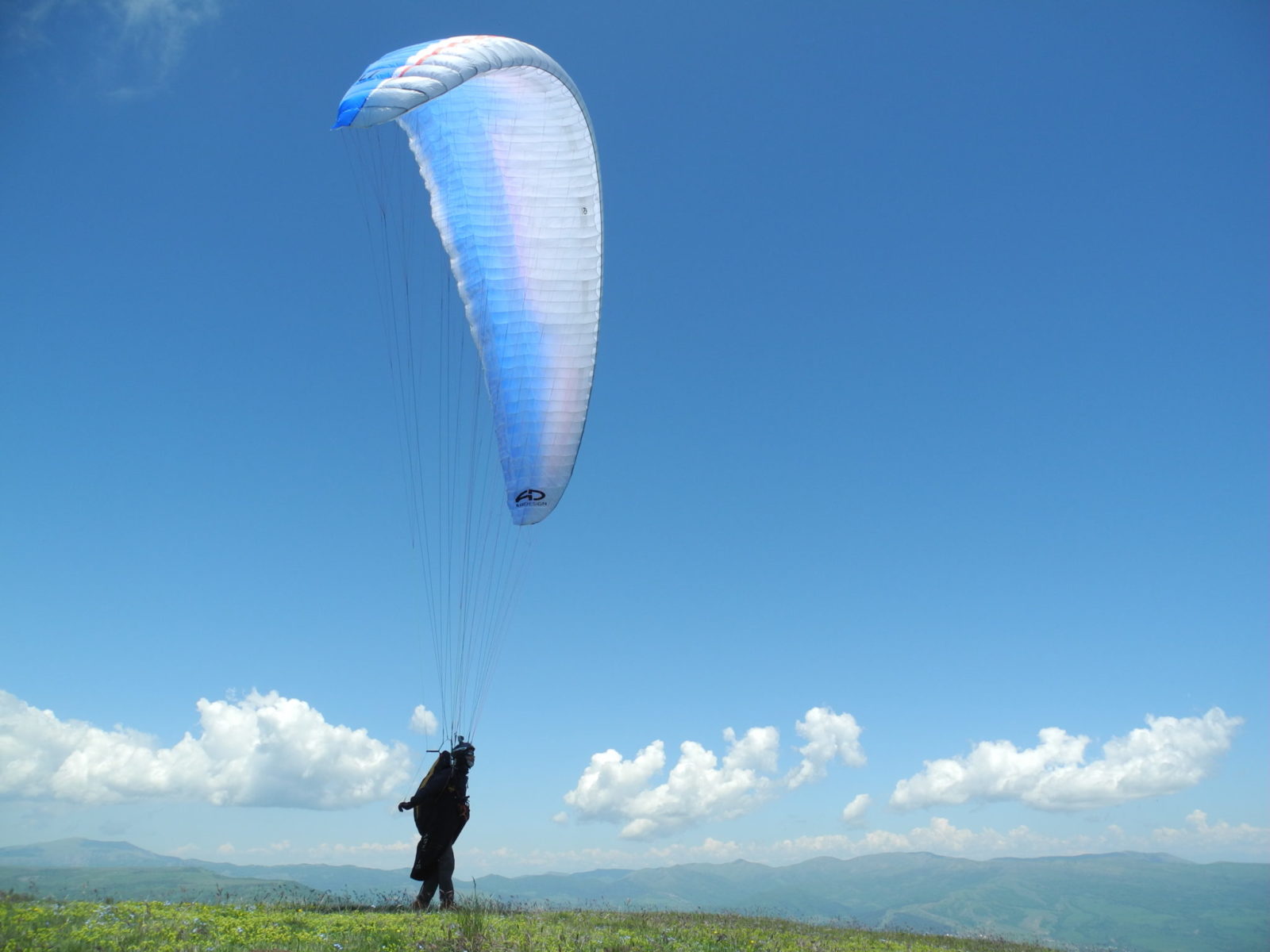
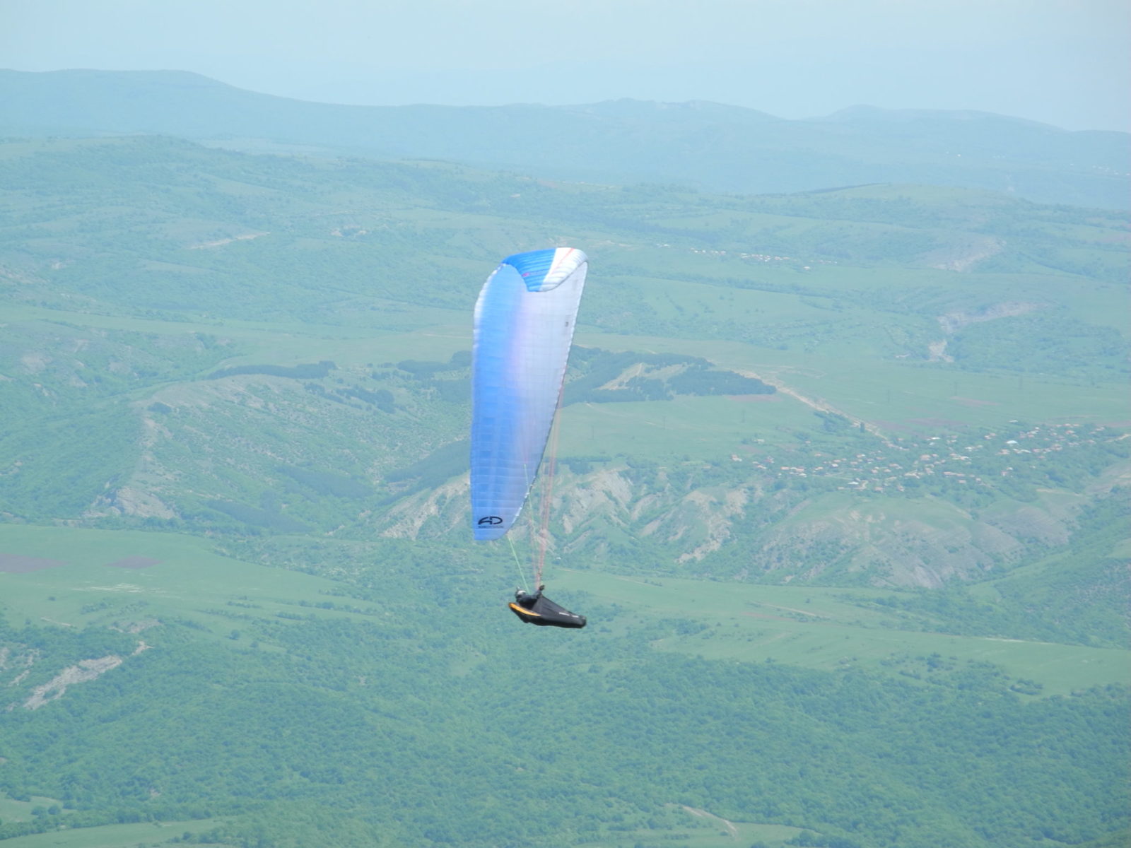
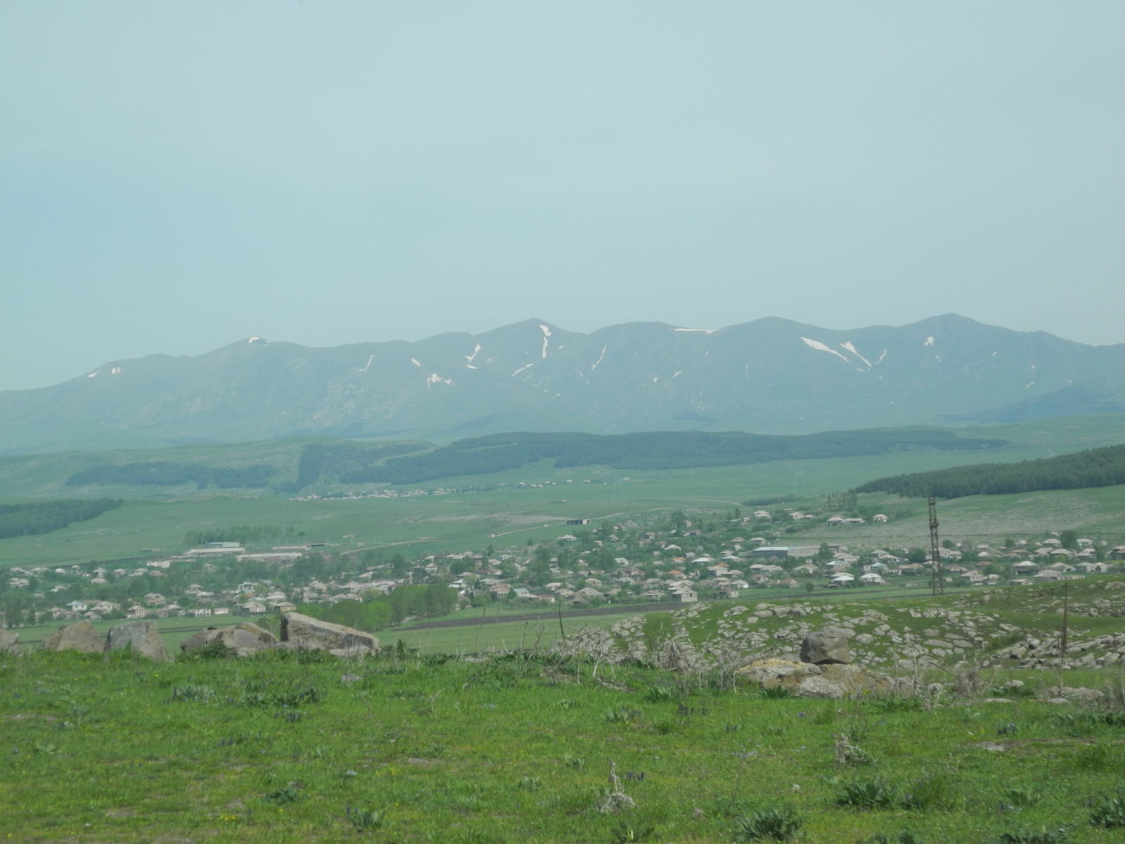
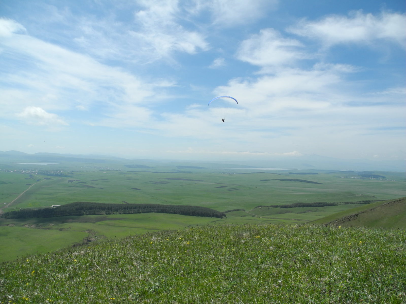
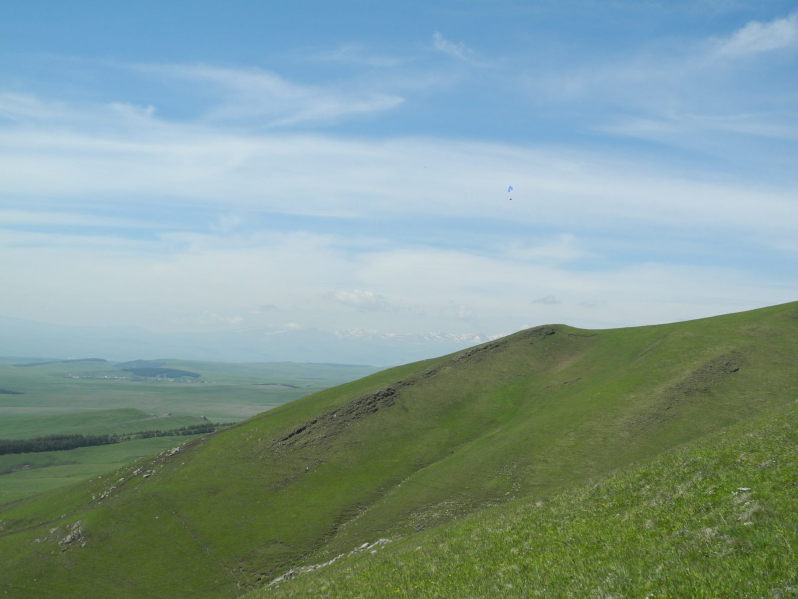
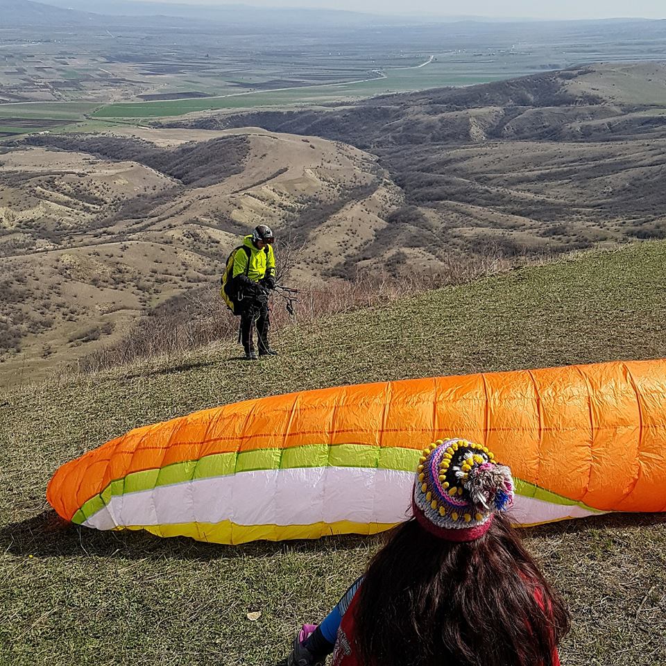
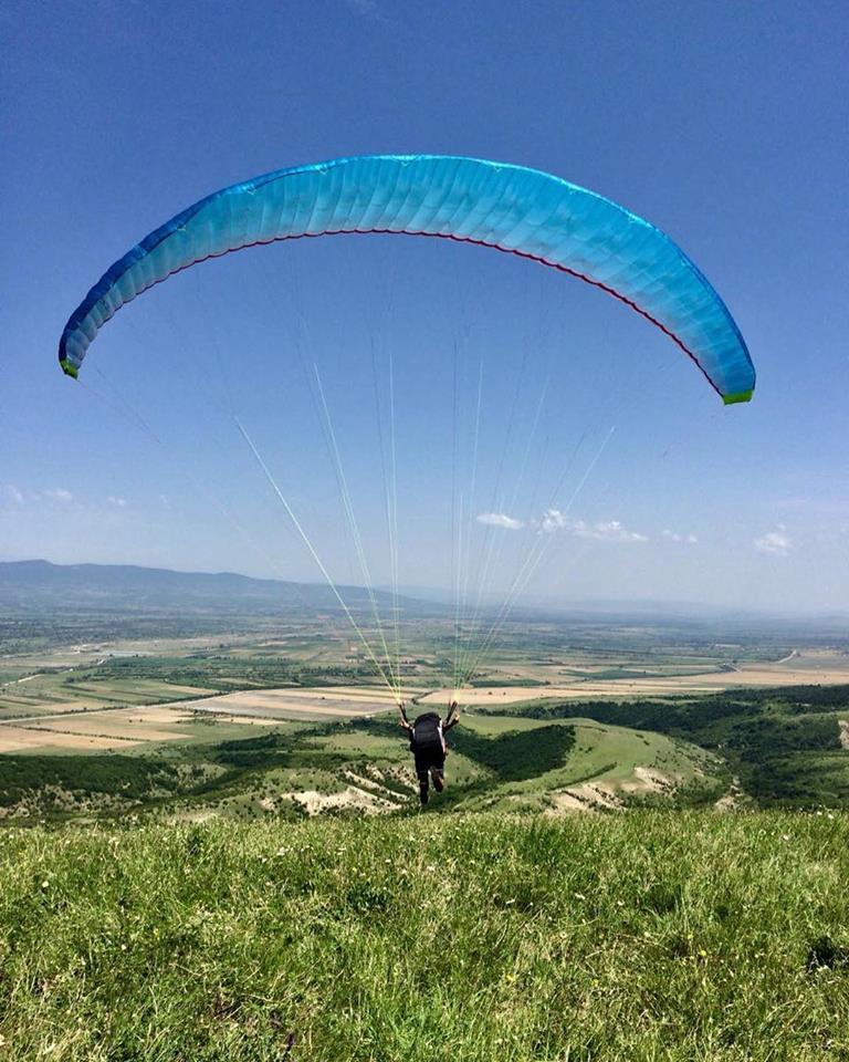
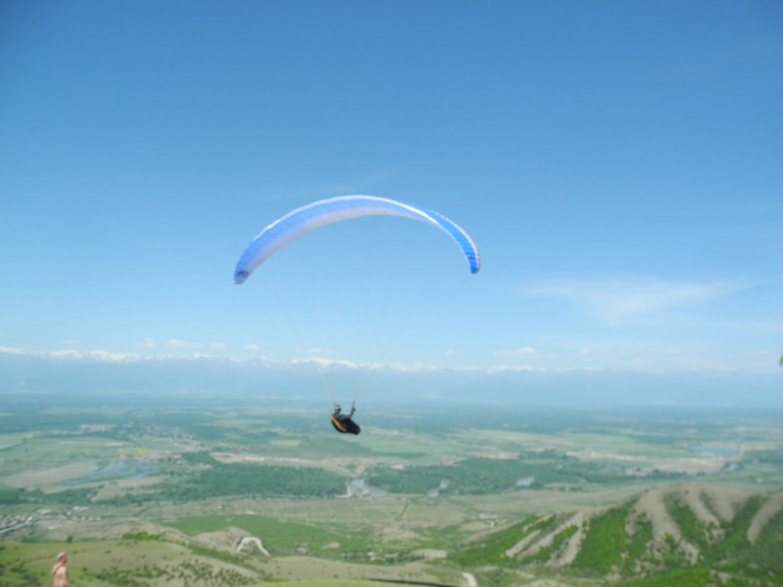
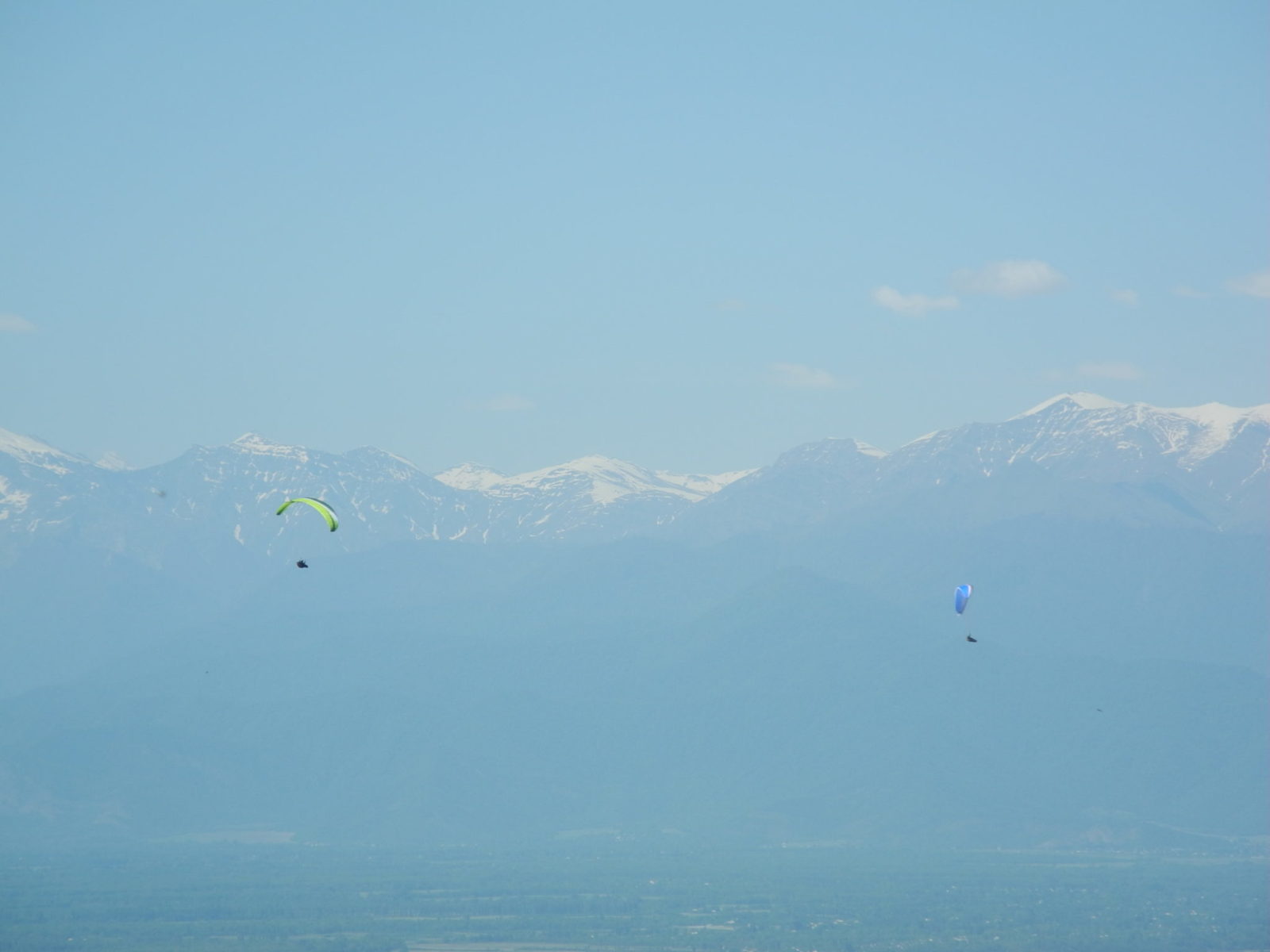
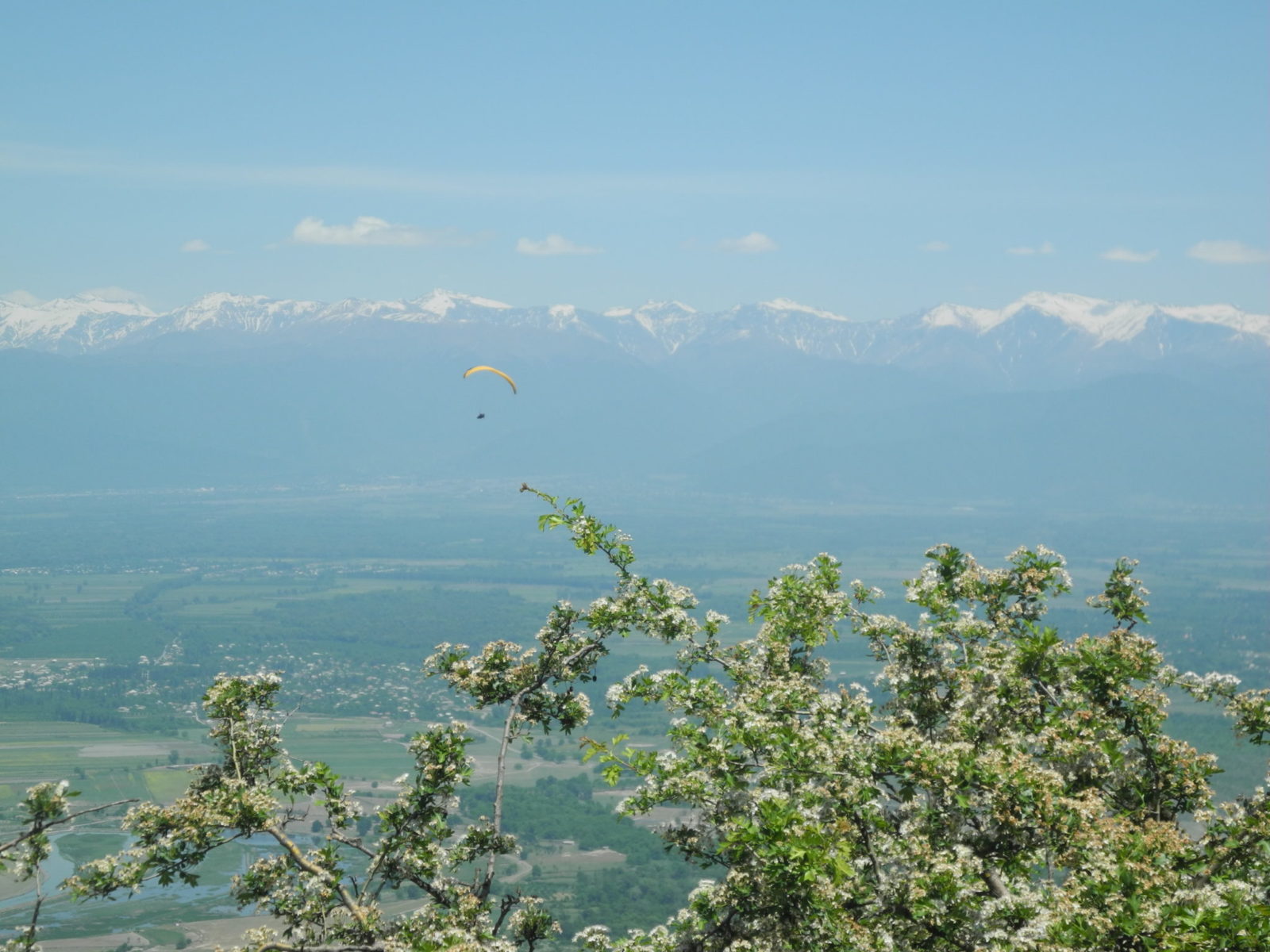
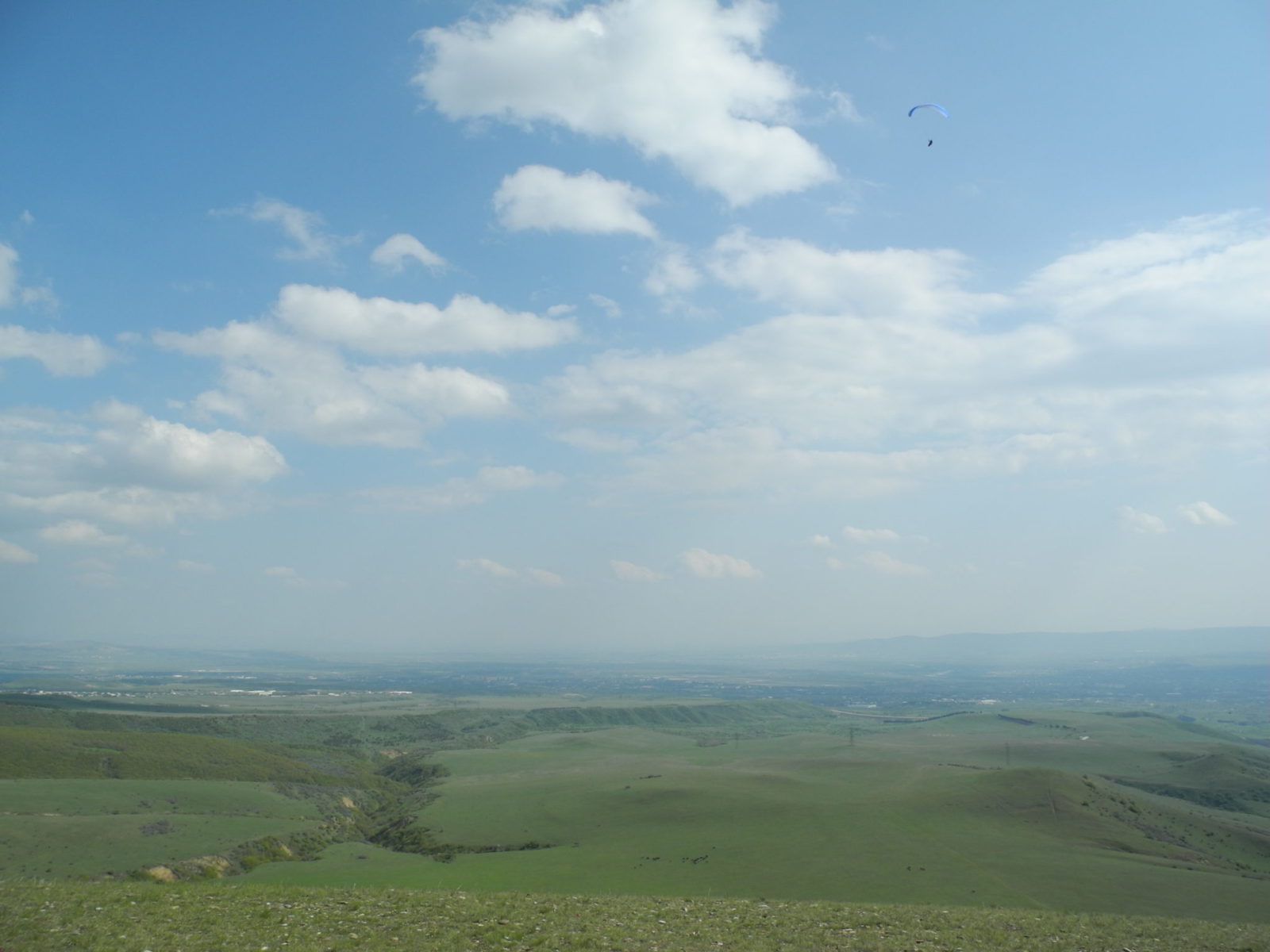
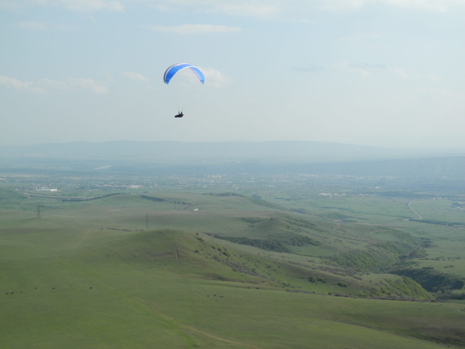
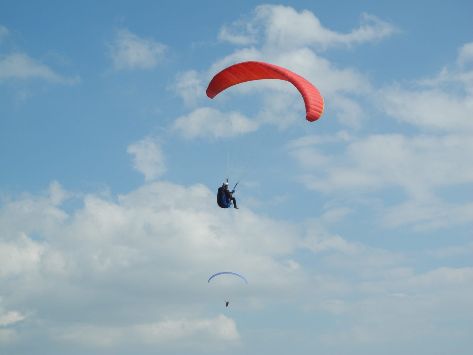
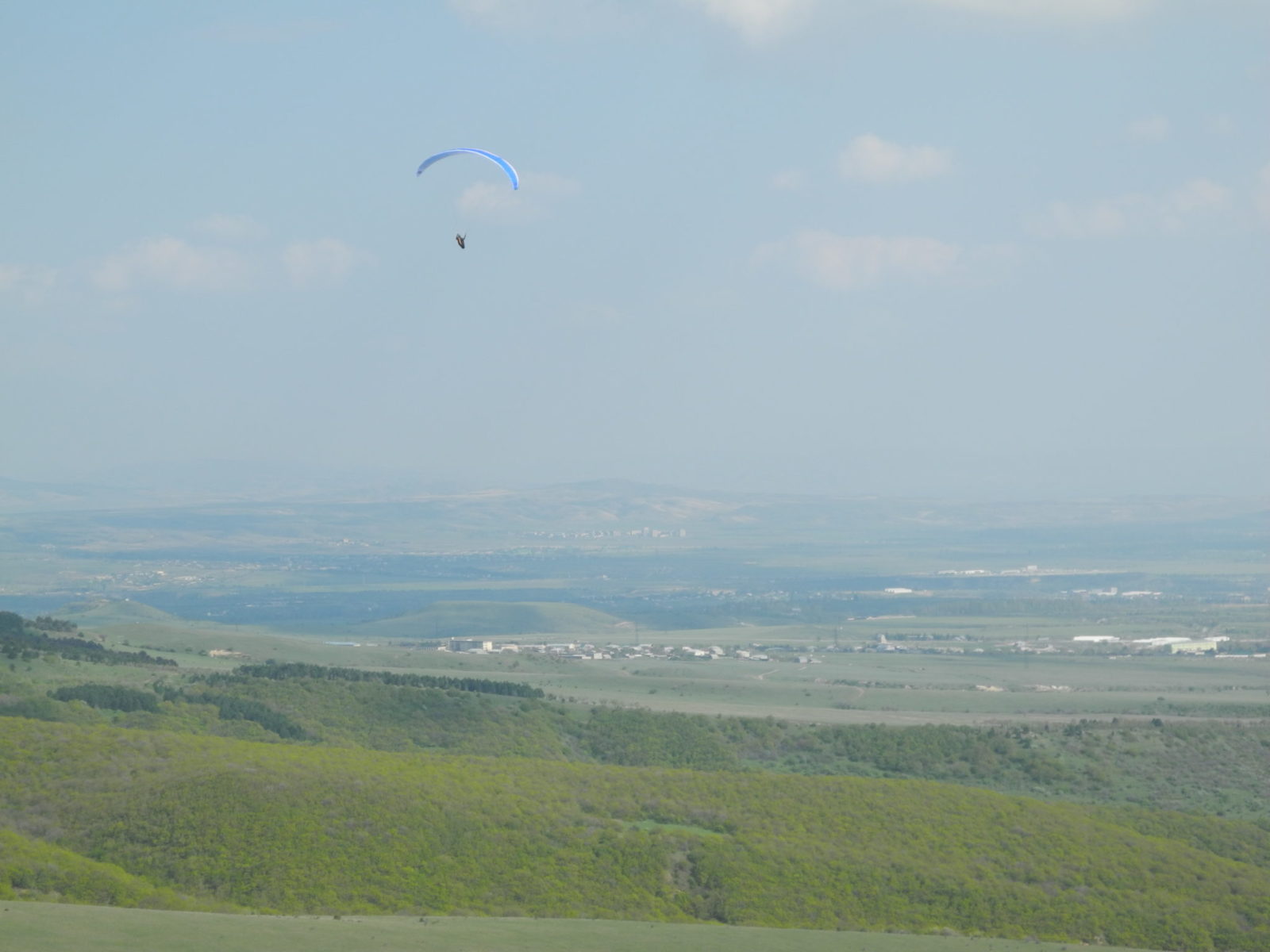
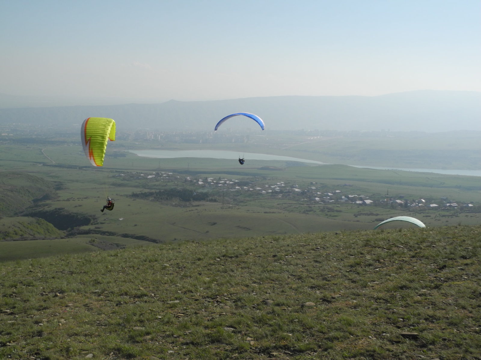
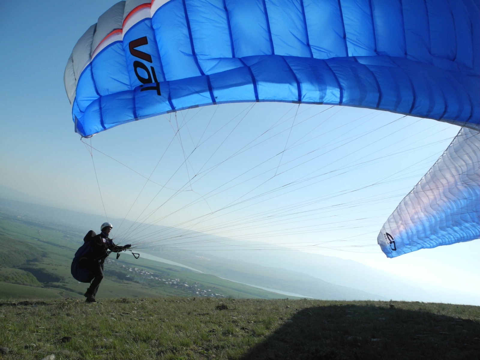
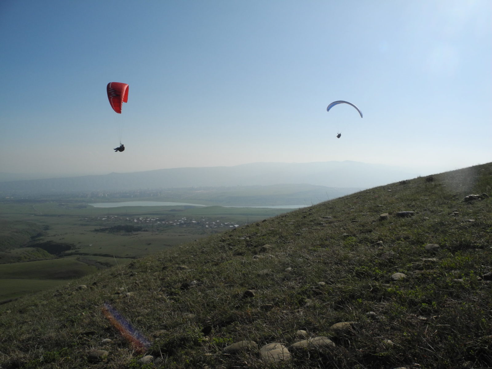
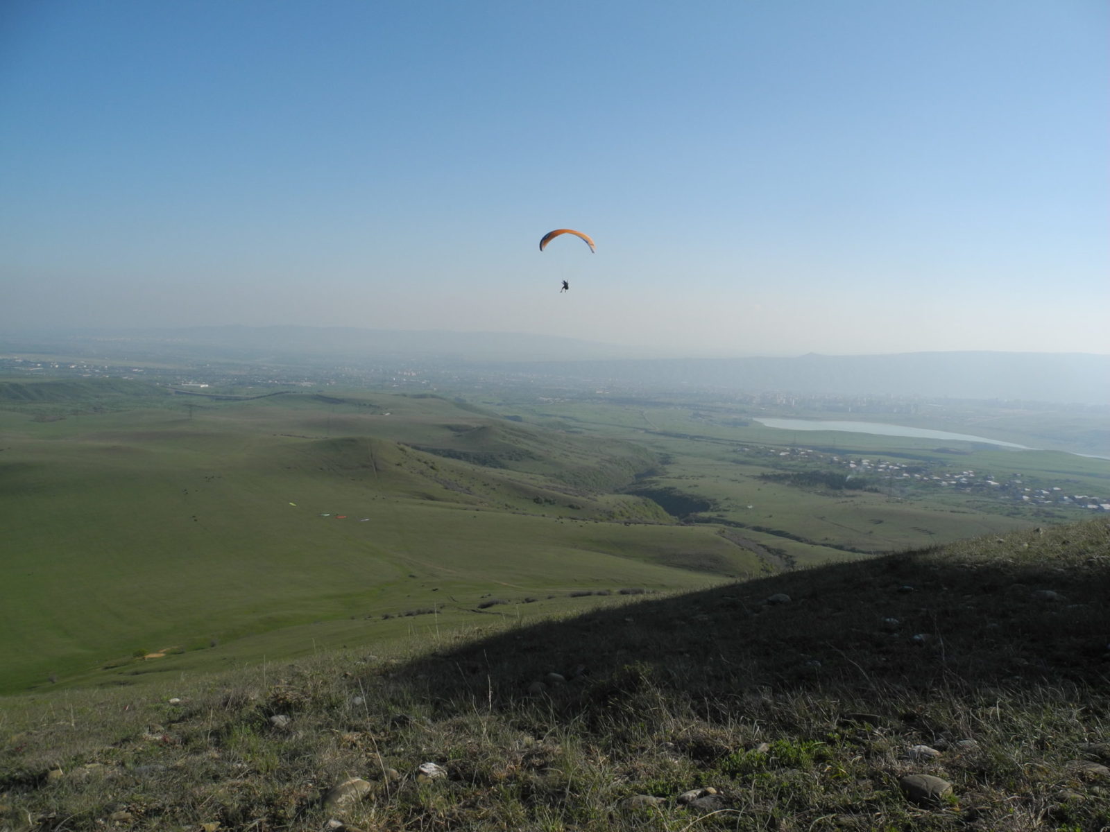
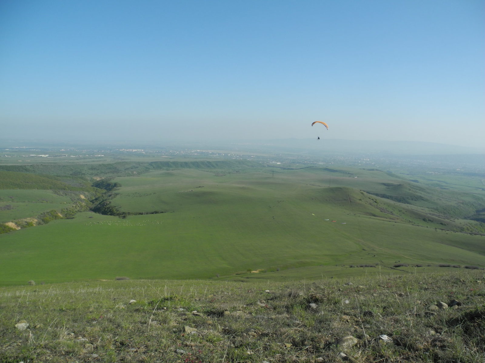
This is a small training slope near Tbilisi, with SE-SW winds and a drop of 100 m. Good weather conditions are abundant in spring, summer and autumn. However, it is extremely difficult to fly here because the mountain is lower down in the hot layer of air and the streams are exceptionally weak, while the wind always slants from the east and builds up along the valley. High altitude flights are not desirable because of the proximity of Tbilisi Airport and the glide path of the aircraft passing over Tbilisi Sea a couple of kilometers to the right of the take-off point. Nevertheless, there are sometimes very good opportunities for flights of distances from 10-15 km, especially on days after it has rained.

  • GPS –  41°45’26.89″N 44°55’9.71″E
  • Height above sea level – 1000 m.
  • Vertical distance – 100 m.
  • How to get there – 4WD jeep with high ground clearance
  • Terrain – grass
  • Quantity of gliders – 10


Rustavi

This is a beautiful mountain with NE-NNW winds and a drop of 300 m, located only 30 km from Tbilisi. Good weather conditions here are very rare. Suitable for both slope soaring and thermal flights. It cannot be considered a mountain route, since the glide path of aircraft passes 500 meters from the take-off point.

  • GPS – 41°33’18.91″N 44°55’25.04″E
  • Height above sea level – 750 m.
  • Vertical distance – 300 m.
  • How to get there — any car
  • Terrain – grass
  • Quantity of gliders – 100+


Racha

An excellent alternative to Svaneti for experienced pilots. Suitable for pilots who love flying in wild places. The take-off point can only be accessed by powerful 4WD vehicle. Suitable for setting records, because the take-off point is located on the Main Caucasian ridge enabling you to start early in the morning and make a round-trip flight to Svaneti. The landing area is on a wide clearing with strong valley winds. You can stay with the local inhabitants, as there are no hotels in the district.

  • GPS – 42°46’14.56″N 43°35’14.78″E
  • Height above sea level – 2500 m.
  • Vertical distance – 1200 m.
  • How to get there – 4WD jeep with high ground clearance
  • Terrain – grass
  • Quantity of gliders – 100+


Dmanisi

This is a mountain near the town of Dmanisi. Take-off points with Westerly and Southerly winds. The altitude of the take-off point is 1800 m. The height above the landing area is 600 m. The take-off point is large and grassy. Accessible only by 4WD off-road vehicle with high clearance. Given that the prevailing wind is easterly, the mountain is not interesting for regular flights.

  • GPS – 41°22’4.50″N 44°12’6.95″E
  • Height above sea level – 1800 m.
  • Vertical distance – 600 m.
  • How to get there – 4WD jeep with high ground clearance
  • Terrain – grass
  • Quantity of gliders – 100+


Tetri-Tskaro

This is a small ridge 100 km from Tbilisi, with suitable Northerly and calm Easterly winds. The start height is 1800 m. The height above the landing area is 600 m. The take-off point is grassy and large. Accessible only by 4WD off-road vehicle with high clearance. The first attempts to fly around this mountain produced 3 routes of 3 hours each. However, in the event of good weather conditions, a large thunderstorm always forms just 20 km from the start, which greatly complicates flights at this location.

  • GPS – 41°37’6.39″N 44°23’20.10″E
  • Height above sea level – 1800 m.
  • Vertical distance – 600 m.
  • How to get there – 4WD jeep with high ground clearance
  • Terrain – grass
  • Quantity of gliders – 10

Tsalka

This is a great ridge for flying in Southerly winds, but there is always a strong wind blowing in this large valley. It is very difficult, but sometimes possible to find adequate weather conditions in this location. The take-off point altitude is 2050 m. The height above the landing area is 200 m. To the right is a long ridge of over 100 km, along which you can fly a good route towards Akhaltsikhe.

  • GPS – 41°44’38.70″N 44° 8’24.73″E
  • Height above sea level – 2050 m.
  • Vertical distance – 200 m.
  • How to get there – 4WD jeep with high ground clearance
  • Terrain – grass
  • Quantity of gliders – 100+


Tianeti

This is a good alternative to flying in Gudauri in summer. When there are thunderstorms in Gudauri, here the cloud base is high, making for good flights. You can get to the take-off point on horseback or on foot.

  • GPS – 42°10’45.14″N 44°53’47.13″E
  • Height above sea level – 1800 m.
  • Vertical distance – 500 m.
  • How to get there – 4WD jeep with high ground clearance or hourse
  • Terrain – grass
  • Quantity of gliders – 100+

Sagarejo

This is one of the few places where you can fly stably in thermals. This is the only mountain that faces to the east wind that prevails in these places. However, there are strong winds in the valley during the first half of the day, so it is preferable to fly after 4.00 pm.

  • GPS – 41°41’2.79″N 45°16’54.20″E
  • Height above sea level – 950 m.
  • Vertical distance – 300 m.
  • How to get there – 4WD jeep with high ground clearance
  • Terrain – grass
  • Quantity of gliders – 5


Manavi

.

  • GPS – 41°47’2.65″N 45°26’51.32″E
  • Height above sea level – 1650 m.
  • Vertical distance – 500 m.
  • How to get there – 4WD jeep with high ground clearance
  • Terrain – grass
  • Quantity of gliders – 10+

Zemo Kedi

This is an unpromising flying location with calm easterly and northeasterly winds. There is a drop of over 400 m and the slopes are very rugged. In the spring and summer there are inversions here, and as a result the thermals are very weak.